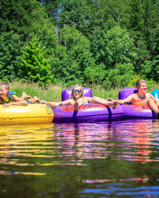
Canoeing, Kayaking & Tubing
One of the most scenic ways to explore Washburn County is by enjoying a nice float down one of the area's rivers or to head out to Washburn County's primitive area, Sawmill Park, to explore the canoe portage routes. Washburn County is home to the Namekagon River: Wisconsin’s Moving National Park, part of the St. Croix National Scenic Riverway. The river flows directly through the center of Washburn County and offers excellent opportunities for fun on the river.
Birchwood Area Canoe Trails at Sawmill Lake Primitive Area:
Washburn County has two primitive canoe/kayak routes in the Birchwood area, six miles north of Birchwood. Both routes are in a primitive area with little to no development and provide a unique opportunity for a quiet, back country experience. Many refer to this area as their "mini boundary waters" due to the amount of glacial lakes and the solitude that they find when exploring this little-known gem. The canoe/kayak route areas lie within heavily forested, rolling topography with a high density of small glacial lakes. These lakes are land locked deep soft water lakes with steep banks and wooded shores. Bass and Panfish are abundant. A canoe portage and trail system has been marked to guide canoeists.
Sawmill Lake Primitive Canoe Route:
This kayak/canoe route begins at the Sawmill Lake campground. The portage trail accesses 9 separate lakes, with most portages less than 100 yards. The lakes along this route are relatively deep, with maximum depths of up to 40 feet. Bass and Panfish are abundant, however many of these lakes are prone to winterkill. Of particular interest is the presence of Green Sunfish.
Loyhead Lake Primitive Canoe Route:
This canoe/kayak route is located 7 miles north of Birchwood. The route begins at Loyhead Lake at the boat landing on the Birchwood Fire Lane. The portage trail accesses 7 separate lakes with most portages less than 200 yards.
Namekagon River:
Nearly fifty miles of the Namekagon River: Wisconsin's Moving National Park, flow through beautiful Washburn County. This free national park offers a stunning wilderness experience for paddling, fishing, hiking, and much more. The Namekagon was one of the original eight rivers to be declared a Wild & Scenic River and the only one at the time that was also a national park! You'll definitely want to put a trip to the Namekagon on your bucket list for this year.
More Information on the Namekagon River
Totogatic River:
The Totogatic, dedicated in 2009 as a Wild River, is a beautiful, undeveloped river crossing the northern portion of Washburn County. The Totogatic River flows from Bayfield County all the way through Burnett County where it meets up with the Namekagon River, a tributary of the St. Croix River. Most of the river is wild and remote, making this river a beautiful path for canoe and kayak enthusiasts. However, some areas are dangerous and not recommended for paddling and you should check with area experts prior to paddling the river.
More Information on the Totogatic River
Yellow River:
The Yellow River was called the “River Juane” by early French explorers because of the bright yellow sand on the bottom of Yellow Lake through which it flows. The Yellow River offers stream and lake canoeing with a slow to moderate current and a few gentle rapids. Access is available at numerous road crossings and public landings. There is excellent fly fishing, canoeing or kayaking on the Yellow River as it flows out of Spooner Lake in Washburn County, through Burnett County, which then meets the St. Croix in Danbury. Wildlife is abundant along the Yellow River; most common is the white-tail deer and numerous varieties of waterfowl.
More Information on the Yellow River


